This is severe.im. To learn more about how these images are produced, the about page should be helpful.
Latest major changes:
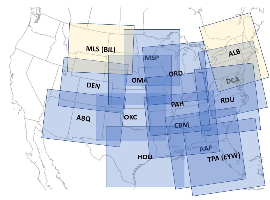
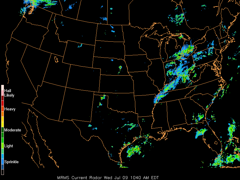
* 9 Jul 25:  MRMS filtered
composite reflectivity is now the regional radar product. The
DHR unfiltered feed has become unstable in recent weeks -- and
is now in the "legacy" slot.
MRMS filtered
composite reflectivity is now the regional radar product. The
DHR unfiltered feed has become unstable in recent weeks -- and
is now in the "legacy" slot.
* 7 Apr 25: Welcome to GOES-19! Data is flowing.
* 17 Mar 25: I tried some CSS to finally fix the font
on small screens. Looks much better, in testing at least.
Email me if you have issues on your device (link on the
"about" page).
* You may use either "https" (preferred) or "http" to access the site. Legacy
users, you're welcome.